Back to Main Menu
Account Menu
no reviews for this product. Login to place a review.
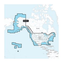
Garmin Navionics+ Regions Preloaded microSD/SD Card Packages provide all-in-one high quality marine and lake electronic chart content for Garmin chartplotters. They feature 1' HD bathymetry maps for a clear depiction of bottom structures and detail, as well as Auto Guidance+ technology that provides dock-to-dock path suggestions. Daily updates and other advanced features (see below) are included for one year. It comes with a 16GB MicroSD card and USB card reader.
Garmin Navionics+ Information is updated daily and provides highly detailed marine and lake charts with one foot high definition bathymetry contour mapping, navigational data and local content. Navionics+ features 21,000 lakes, with more added with community edits. Advance features are included for the first year and include SonarChart Live, Advanced Map Option and Plotter Sync. These charts also have access to the ActiveCaptain app for community sourced content and NOAA raster cartography.


