Back to Main Menu
Account Menu


no reviews for this product. Login to place a review.
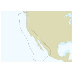
C-MAP Reveal Charts feature full-featured Vector Charts with custom depth shading, tides and currents, easy routing and up-to-date chart detail. They have High Resolution Bathymetry (HRB) that identifies shallow areas, drop-offs, ledges, holes and humps, as well as compiled Genesis detail as part of a singular HRB layer. These charts also feature customizable depth shading and includes 12 months of free online updates. Compatible with Lowrance, Simrad and B&G chartplotters.