Back to Main Menu
Account Menu

no reviews for this product. Login to place a review.
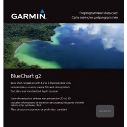
The Garmin BlueChart g2 is a digital marine chart that provides a range of details including depth contours and coastlines, spot soundings, navaids, port plans, and inter-tidal zones. It shows the on-chart position of a vessel in relation to navaids, coastal features, anchorages and other marine landmarks with smooth displays and seamless zoom transitions. This digital chart has 2-D/overhead or 3-D/over-the-bow views, user-defined safety shading and fishing charts that emphasize bathymetric contours. This BlueChart g2 provides data for the entire United States.