CELEBRATING 80 YEARS: 1944-2024
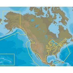
INSGHT PROMAX-N+US/AK/HI/MX (D)
C-MAP MAX-N+ Wide Electronic Charts are vector charts engineered with a variety of details to enhance their use.
Features (Click to expand):
- Harbor & Approach Details - for approaching land with confidence
- Port Database - Port Layout and Facilities, operating hours, accessibility data, phone and email contact information
- Dynamic Raster Charts - a traditional nautical chart view for viewing important details
- High-Resolution Bathymetric charts and Sportfishing Data - powerful data for anglers
- Tides & Currents projections
- Satellite imagery
- Easy Routing - automatically plots shortest & safest routes
- Depth Shading options
- Aerial Photography
- Available on Micro SD card
$99.00