CELEBRATING 80 YEARS: 1944-2024
NAVIONICS+ MARINE CHART CARDS

NAVIONICS+ MARINE CHART CARDS

no reviews for this product. Login to place a review.

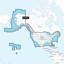
Navionics+ Marine Mapping Charts provide all-in-one high-quality marine and lake electronic chart content for compatible chartplotters (not Garmin). They feature SonarChart 1' HD bathymetry maps for a clear depiction of bottom structures and detail, as well as advanced features such as dock-to-dock route guidance technology depending on plotter, live mapping and Plotter Sync to provide wireless access to daily updates.

Features (Click to expand):
  • U.S. & Western Canada (GRM-C1287-20): Entire U.S. coasts, lakes, rivers and inland waterways, plus Alaska and Hawaii. Canada coverage of coastal British Columbia, the Great Lakes, the St. Lawrence Seaway, New Brunswick and Nova Scotia. Coverage includes Bermuda, the Bahamas, Baja California, the Gulf of California, Johnston Atoll and Palmyra Atoll/Kingman Reef
  • U.S. West (GRM-C1292-20): Arizona, California, Colorado, Idaho, Montana, Nevada, North Dakota, Oregon, South Dakota, Utah, Washington, and Wyoming, Hawaii, and the Johnston and Palmyra Atolls

NAV+ US ALL & CANADA W COAST
NAV-C136630
Available: 4
$199.99
NAV+ US W COAST & HI
NAV-C137130
Available: 17
$149.99