Back to Main Menu
Account Menu
no reviews for this product. Login to place a review.
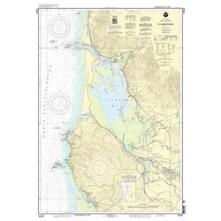
NOAA Nautical Charts for the Oregon Coast are printed on water resistant paper and are NOAA and USCG approved.
| ITEM # | LOCATION | SCALE |
|---|---|---|
| CHT18556 | Nehalem River | 1:20000 |
| CHT18558 | Tillamook Bay | 1:50000 |
| CHT18561 | Approaches to Yaquina BayDepoe Bay | 1:50000 |
| CHT18581 | Yaquina Bay & RiverContinuation of Yaquina River | 1:10000 |
| CHT18583 | Siuslaw River | 1:20000 |
| CHT18584 | Umpqua RiverPacific Ocean to Reedsport | 1:20000 |
| CHT18587 | Coos Bay | 1:20000 |
| CHT18588 | Coquille River Entrance | 1:20000 |
| CHT18589 | Port Orford to Cape BlancoPort Orford | 1:40000 |
| CHT18600 | Trinidad Head to Cape Blanco | 1:196948 |
| CHT18602 | Pyramid PointCape SebastianChetco Cove | 1:40000 |


