Back to Main Menu
Account Menu
no reviews for this product. Login to place a review.
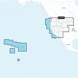
Navionics Platinum+ Marine Mapping Charts provide all-in-one high-quality marine and lake electronic chart content for compatible chartplotters (not Garmin) as well as integrated offshore and inland mapping, 42,000+ lakes and additional viewing options for relief shading, satellite imagery with SonarChart shading overlay, 3D perspective view, aerial photos and more. They feature SonarChart 1' HD bathymetry maps for a clear depiction of bottom structures and detail, as well as advanced features such as dock-to-dock route guidance technology depending on plotter, live mapping and Plotter Sync to provide wireless access to daily updates.
A one-year subscription to Daily Updates and advanced features is included when you purchase any new Navionics Platinum+ mapping solution. After a year, you can renew at a discounted price.
