Back to Main Menu
Account Menu
no reviews for this product. Login to place a review.
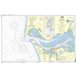
The NOAA Small Format 18521 Chart covers the Columbia River exiting at the Pacific Ocean, with Harrington Point at the eastern edge of the map. The regular format map is 36" x 51", but this "Small Format" map is a very handy scaled down version at 21" x 30" printed on water resistant paper. It is not certified for carriage by NOAA or USCG.


