Back to Main Menu
Account Menu
no reviews for this product. Login to place a review.
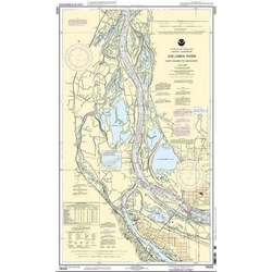
NOAA Nautical Charts for the Columbia River are printed on water resistant paper and are NOAA and USCG approved.
| ITEM # | LOCATION | SCALE |
|---|---|---|
| CHT18520 | Yaquina Head to Columbia River | 1:185238 |
| CHT18523 | Harrington Point to Crims Island | 1:40000 |
| CHT18524 | Crims Island to Saint Helens | 1:40000 |
| CHT18525 | Saint Helens to Vancouver | 1:40000 |
| CHT18526 | Port of PortlandVancouverMultnomah ChannelSouthern Part | 1:20000 |
| CHT18531 | Vancouver to BonnevilleBonneville Dam | 1:40000 |
| CHT18532 | Vancouver to The Dalles/Hood River | 1:40000 |
| CHT18533 | Lake Celilo | 1:20000 |
| CHT18535 | John Day Dam to Blalock | 1:20000 |
| CHT18537 | Alderdale to Blalock Islands | 1:20000 |
| CHT18539 | Blalock Islands to McNary Dam | 1:20000 |
| CHT18541 | McNary Dam to Juniper | 1:20000 |
| CHT18580 | Cape Blanco to Yaquina Head | 1:191730 |


