Back to Main Menu
Account Menu
no reviews for this product. Login to place a review.
NOAA Nautical Charts for the Washington Coast are printed on water resistant paper and are NOAA and USCG approved. Small format versions are smaller print versions of the standard charts and are not certified for carriage by NOAA or USCG.
| ITEM # | LOCATION | SCALE |
|---|---|---|
| CHT18421 | Strait of Juan de Fuca to Strait of Georgia | 1:80000 |
| CHT18433 | Haro StraitMiddle Bank to Stuart Island | 1:25000 |
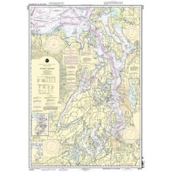
| CHT18440 | Puget Sound | 1:150000 |
| CHT18441 | Northern Puget Sound | 1:80000 |
| CHT18460 | Strait of Juan de Fuca Entrance | 1:100000 |
| CHT18465 | Eastern Strait of Juan de Fuca | 1:80000 |
| CHT18480 | Strait of Juan de FucaDestruction lsland | 1:176253 |
| CHT18485 | Cape Flattery | 1:40000 |
| CHT18500 | Columbia River to Destruction Island | 1:180789 |
| CHT18502 | Grays HarborWesthaven Cove | 1:40000 |
| CHT18504 | Willapa BayToke Point | 1:40000 |
| CHT18521 | Columbia RiverPacific Ocean to Harrington Point | 1:40000 |


