Back to Main Menu
Account Menu
no reviews for this product. Login to place a review.
NOAA Nautical Charts for the California Coast are printed on water resistant paper and are NOAA and USCG approved.
| ITEM # | LOCATION | SCALE |
|---|---|---|
| CHT18620 | Point Arena to Trinidad HeadRockport Landing | 1:200,000 |
| CHT18622 | Humboldt Bay | 1:25,000 |
| CHT18623 | Cape Mendocino & Vicinit | 1:40,000 |
| CHT18626 | Elk to Fort BraggFort BraggNayo Anchorage | 1:40,000 |
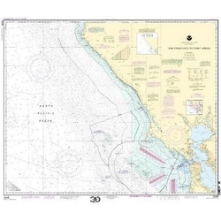
| CHT18640 | San Francisco to Point Arena | 1:207,840 |
| CHT18643 | Bodega BayTomales BayBodega Harbor | 1:30,000 |
| CHT18649 | Entrance to San Francisco Bay | 1:40,000 |
| CHT18700 | Point Conception to Point Sur | 1:216,116 |
| CHT18720 | Point Dume to Purisma Point | 1:232,188 |
| CHT18740 | San Diego to Santa Rosa Island | 1:234,270 |
| CHT-SF18603 | St. George ReefCrescent City HarborCrescent City Harbor | 1:40,000 |


